Satellite Imagery
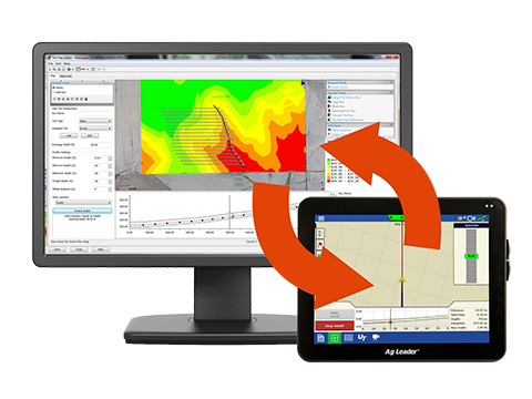
Agrolytix Precision Agronomy
Monitor crop health and identify early signs of crop stress
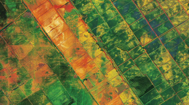
Satellite Imagery
Satellite Imagery is a helpful tool to monitor crop health and identify crop stress caused by pests, disease, nutrient deficiencies or drought.
Satellite Imagery plays an important role in making informed agronomic decisions. Combined with normalized yield history, satellite imagery also helps to further refine the zone determination process.
Contact Us
Contact your local Coastal AgroBusiness Solutions Advisor to find out how our Agrolytix Precision Agronomy specialists can help you put your data to work.
Or call Agrolytix directly at 252-317-3612.